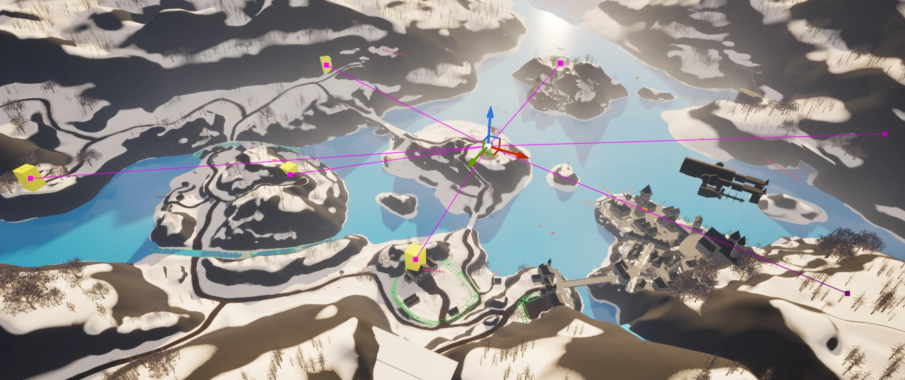
POI Distance Blueprint Tool
(Please note - this page is missing some content as I am currently traveling and the work is on my Main PC)
For one of my open world level design projects, I built a tool that let me visualize better the distance between POI’s. This is important for two reasons:
Ensuring that the POI’s are generally within a reasonable range to each other so the travel time doesn’t become too long for players
In the game that I was basing my project off, (FF7 Rebirth) you would have towers that revealed other POI’s on the map when interacted with. Using this visualizer I could see which POI’s the tower revealed.
What this tool does and how a designer would use it:
The designer places this blueprint at the central tower.
The designer then inputs what text this blueprint will look for on tagged meshed.
The designer can then place a yellow cube or alternative mesh onto any POI and add a ‘tag’ to it.
The Blueprint then displays spline paths between each POI.
The Blueprint then outputs the exact distance in meters between POIs on the spline path.
While the tool’s visualization is fairly basic, it proved very effective for early-world layout validation. There’s definitely potential for improvement in both readability and data display, but it served its purpose well during blockout.